Need Precise Field Survey & Investigation Support?
Partner with KV Consultancy to access accurate, reliable, and technically sound survey and investigation solutions that form a strong foundation for your infrastructure projects.

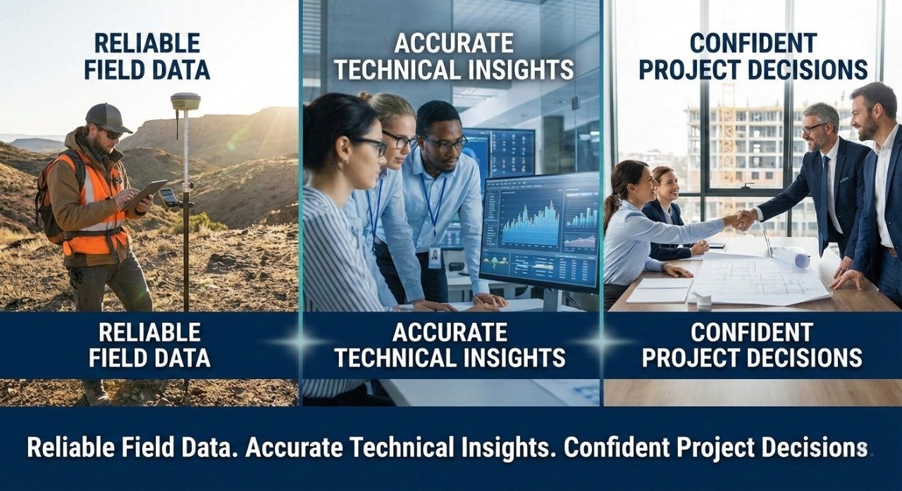
Understanding the ground reality is critical for infrastructure success. At KV Consultancy, we offer specialized surveying and investigation services that provide precise field data and technical intelligence to support informed decision-making throughout the project lifecycle.
Comprehensive surveys and technical investigations form the backbone of any infrastructure project. Our expert team employs modern surveying technologies, scientific investigation techniques, and industry-standard methodologies to collect, analyze, and interpret data crucial for project feasibility, design, and execution.
We help clients minimize uncertainty, optimize engineering designs, and mitigate risks by providing reliable, accurate, and actionable survey and investigation reports that serve as a foundation for technical planning, design coordination, and construction implementation.
We perform detailed topographical surveys to map terrain and site features with high precision. Our services utilize advanced total station instruments, GPS systems, and digital mapping techniques to generate accurate contour maps, elevation profiles, and site geometry data essential for planning and design.
Our geotechnical investigation services include soil exploration, borehole drilling supervision, sample testing, and sub-surface analysis. We provide detailed soil reports that support foundation design, earthwork planning, and geostructural assessments to ensure structural stability and performance.
Using unmanned aerial systems (UAS) and LIDAR scanning, we capture high-resolution terrain and infrastructure data for inaccessible or extensive project areas. These aerial surveys enhance accuracy, improve visualization, and support digital terrain modeling (DTM) for large-scale site planning.
We conduct hydrographic surveys in riverine, coastal, and water bodies to assess depth profiles, water flow patterns, and sub-surface features. Our hydrological investigations also cover rainfall analysis, watershed data, and water behavior studies necessary for water resource and environmental planning.
Our material testing support includes field sampling, lab testing coordination, and analysis of construction materials such as soil, rock, concrete, aggregates, and asphalt. These tests provide critical insights on strength, durability, and compliance with engineering standards.
We integrate Geographic Information System (GIS) technology and remote sensing data to organize and display spatial information for project planning, analysis, and decision support. GIS mapping enables layered visualization of survey data, environmental constraints, utility lines, and geographic features.
Our environmental investigation services include soil contamination checks, ground water assessment, environmental constraint mapping, and field data gathering required for EIA, regulatory compliance, or project environmental planning
To reduce unexpected field challenges, we perform utility mapping and subsurface fabric detection using ground-penetrating radar (GPR) and other non-destructive techniques. This reduces risks associated with utility conflicts and underground services during construction.
 Mobilization & Site Reconnaissance
  Instrument Calibration & Survey Setup
  Data Capture & Field Observations
  Laboratory Testing & Validation
  Report Generation & Quality Review Technical Recommendations & Deliverables
 Accurate survey data and rigorous investigation outcomes provide:
Need Precise Field Survey & Investigation Support?
Partner with KV Consultancy to access accurate, reliable, and technically sound survey and investigation solutions that form a strong foundation for your infrastructure projects.
KV Consultancy delivers professional engineering, infrastructure consultancy, and project management solutions designed to turn complex ideas into successful projects.
Address : Office No. 408, 4th Floor, Magnifico, Opp. Avlon Hotel, Bodakdev, Ahmedabad-380054, Gujarat
Email : info@kvcons.com
Phone : +91-12345 68790
info@kvcons.com
+91-12345 68790
Ahmedabad-380054, Gujarat
© 2026 KV Consultancy – All rights reserved.
Design & Develop by : Dcodes Technologies